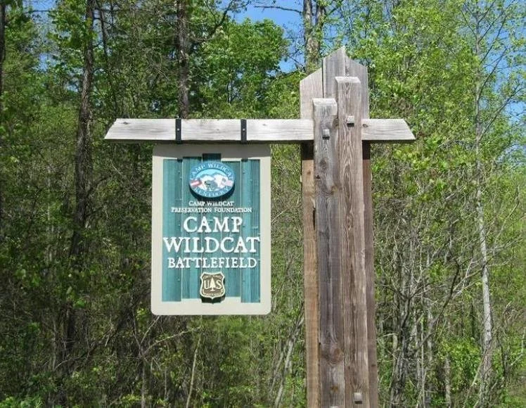
Battle at Camp Wildcat
Laurel County, KY, Oct. 21, 1861
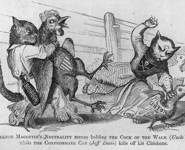
Early in the Civil War, the Lincoln administration knew of the importance of keeping the border state of Kentucky in the Union. Any Rebel armies operating successfully there could encourage secessionist sympathies. In the summer of 1861, Kentucky was officially neutral, but both the North and the South were recruiting soldiers from the state. A Confederate force of around 6,000 men under Brig. Gen. Felix Zollicoffer entered the southeast corner of the state just north of the Tennessee border and occupied the strategic Cumberland Gap. The main artery of travel in eastern Kentucky was the Wilderness Road. Control of this artery also meant control of mountaineers whose sentiments were pro-Union.
To counter Confederate movement in the area, Union Brig. Gen. George H. Thomas sent a detachment under Col. T.T. Garrard to secure the ford on the Rockcastle River, establish a camp at Wildcat Mountain, and obstruct the Wilderness Road passing through the area. Garrard informed Thomas that if he did not receive reinforcements, he would have no other option but to retreat because he was outnumbered seven to one. Thomas sent Brig. Gen. A. Schoepf with a brigade to Garrard, bringing the total force to about 7,000.
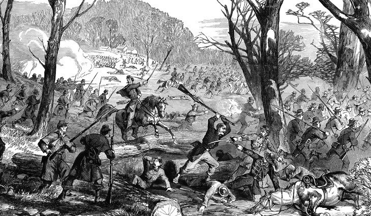
On the morning of October 21, 1861, soon after Schoepf arrived, some of his men moved forward and ran into Rebel forces, commencing a fight. The heavily fortified Federals repelled the Confederate attacks. The Confederates withdrew during the night and continued their retreat to Cumberland Ford, which they reached on the 26th. A Union victory was welcomed, countering the Confederate victories at First Manassas and Ball's Bluff.
The Wilderness Road and Camp Wildcat continued to play a role throughout the war. The camp was used by both Confederate and Union forces, as control of this portion of the road shifted between the two armies. The exact location is 37° 15.621′ N, 84° 11.939′ W. Marker is near East Bernstadt, Kentucky, in Laurel County. Marker is on Old Wilderness Road, half a mile south of Camp Wildcat Road (Sheltowee Trace), on the right when traveling north. The marker is along the road to Camp Wildcat battlefield; directions to the battlefield are clearly marked from both Interstate 75 (Exit 49) and US Route 25.
Though the armies have long since disappeared, many of their trenches remain as reminders of what happened on that October day. If you visit the battlefield and stand quietly behind the trenches you may feel your heart begin to pound just like the soldiers' hearts pounded in 1861. The battlefield looks much different from the etchings made in 1861. Most of it has been logged and a few trails lead to the faint outlines of old trenches that remain. The remoteness of the location of this battle makes it unique because you can still see these trenches. Battlefield sites located in gentler terrain were farmed over and developed, destroying signs of the battle.